
Subject Land Surveying
Pg 01
Book L-100 Land Survey
Pg 01
Colorado • Land & Construction Surveying
Land Surveying
Boundary, ALTA, plats, ILCs, topo and control.
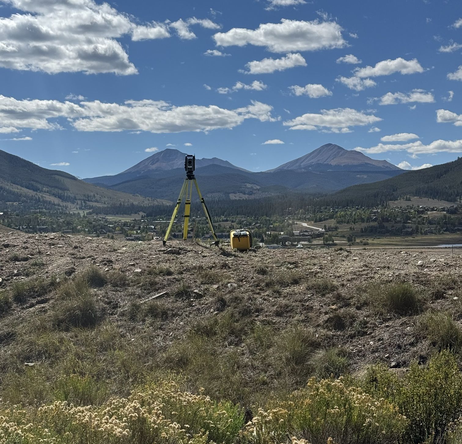
GSS Surveying is becoming part of Beyond Topographic. Scott Pulling, PLS, the surveyor behind GSS, leads our land survey work: the same experience and knowledge, with modern workflows.
Our construction focus is grounded in professional land surveying. Reliable control, sound judgment, clear documentation and respect for boundary evidence stay at the center of how we work.
Subject Which survey
Pg 02
Start here
Find the survey for your job
Start with what you are doing. Not sure? Call and tell us, and we will tell you which survey you need.
- Closing on a house ILC or improvement survey plat (ISP)
- Building a house or an addition Setback, foundation or height certificate
- Buying or financing commercial property ALTA/NSPS land title survey
- Splitting or combining lots Plat, replat, lot line adjustment or exemption plat
- Flood insurance FEMA elevation certificate or LOMA
- A fence, a dispute or lost corners Boundary survey and property pins
- Designing a building or site Topographic survey
- A contractor on a job Construction staking, as-builts and control
Subject Title companies and lenders
Pg 02A
Sketch The proposal checklist
Pg 02A
For title companies, lenders and attorneys
ALTA surveys and ILCs for closings
We survey for title officers, lenders and real estate attorneys on commercial and residential closings across the Denver metro, the Front Range and the mountain counties. Send the commitment and we send back a proposal. Call or use the form, whichever is easier.
ALTA/NSPS land title surveys
Done to the 2026 ALTA/NSPS standards, in effect since 02/23/2026, with the Table A items your lender or underwriter asks for.
Schedule B-II exceptions
Every exception in the commitment reviewed. The ones that can be plotted are drawn on the survey, and each one gets a written note.
Easements, encroachments and access
Recorded easements, encroachments across the lines, access to a public road and the flood zone, shown and noted on the plat.
Legal descriptions
Legal descriptions written or checked against the commitment and the deeds, so the survey and the policy describe the same land.
ILCs and ISPs for residential closings
Improvement location certificates for purchases and refinances, and improvement survey plats when the lender or the county wants a full survey.
Send for a proposal
- The title commitment, with the Schedule B-II documents
- The lender's Table A list, for an ALTA
- The property address and county
- The closing date
- Who to call with questions
ILC or ISP
| Certificate | What it is |
|---|---|
| ILC | Shows the house and improvements against the lot lines for a closing. It does not set corners. |
| ISP | A land survey plat that finds or sets the corners and shows the improvements. Some lenders and counties ask for it. |
Or call (303) 913-0809 with the address and the closing date.
Subject Boundary and Title
Pg 03
Sketch Lot corners and lines
Pg 03
Section 1
Boundary and Title
ALTA survey (ALTA/NSPS land title survey)
The survey a lender or title company wants for a commercial closing. Buyers, lenders, title companies and attorneys order it.
To start: the title commitment and the Table A items on the lender's list. For title companies
Boundary survey and property pins
We find or set the corners and show where the lines are. Homeowners, buyers and neighbors order it before a fence, a sale or a dispute.
To start: the address and any old survey you have.
Legal descriptions and exhibits
Metes and bounds legal descriptions with exhibit maps (Exhibit A and B) for deeds, easements and agreements.
To start: the parcel and what the document is for.
Easements, right of way, vacations and dedications
Access, utility, trail, alley, gas and driveway easements described and drawn. Right-of-way exhibits and permit surveys for private development.
To start: the parcels involved and who is asking for it.
Lot line adjustments and consolidations
Moving a line between two lots or combining lots into one, drawn and described for the county or town.
To start: both addresses and the deeds.
Title research and encroachment reports
Ownership research, encroachment findings and right of entry for a property or a project.
To start: the property and the question you need answered.
Boundary disputes and litigation support
Survey evidence and expert work for property owners and their attorneys.
To start: the property and a call to talk it through.
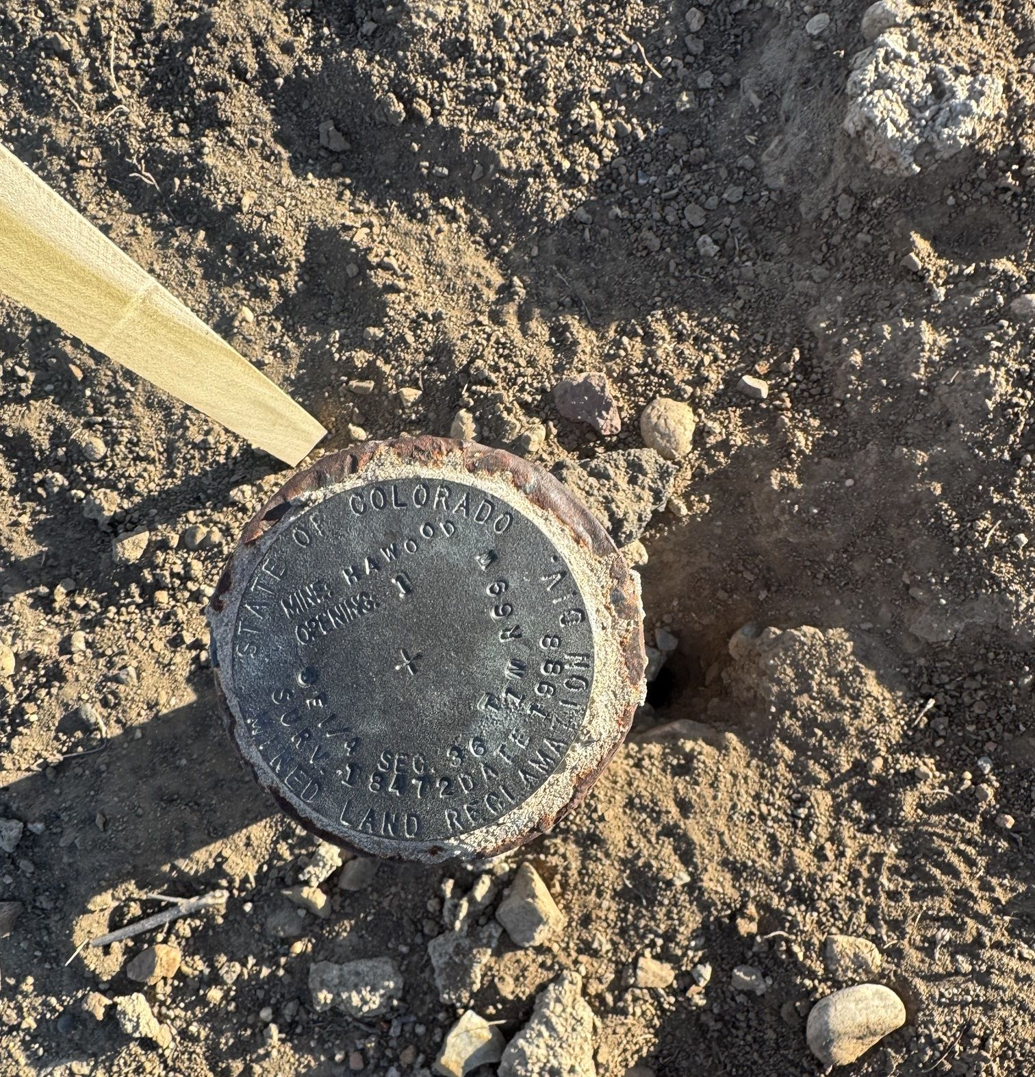
Mining claims, USFS and BLM parcels
Patented mining claim boundaries, Forest Service and BLM parcels, and land exchanges in the mountain counties.
To start: the claim name or parcel and the county.
Subject Plats and Land Development
Pg 04
Sketch Replat, new lot line
Pg 04
Section 2
Plats and Land Development
Plats and replats
Subdivision plats, replats, minor subdivisions, exemption plats and administrative plats, drawn to the town or county's rules and taken through review.
To start: the parcel, the plan for it and the jurisdiction.
Condominium maps
Condo maps for new buildings and conversions.
To start: the building plans and the declaration if one exists.
Topographic survey for design (topo)
Site topo with utilities, driveways, trees, and river or lake edges, for architects and engineers.
To start: the site, the limits and the contour interval your designer wants.
Site plans for permits
Site plans for county and town building permit submittals, as drawings and CAD.
To start: the address and the permit checklist.
Grading, volumes and stockpiles
Grading surveys and earthwork volumes for builders and site contractors.
To start: the site and the dates of the surfaces you need compared.
Special-purpose parcels
Airport tracts and other parcels with their own platting rules.
To start: the parcel and the agency involved.
Old line out, new line in, drawn for review.
Subject Residential Certificates
Pg 05
Sketch House on the lot, setbacks
Pg 05
Section 3
Residential Certificates
ILC (improvement location certificate)
Shows the house and improvements against the lot lines for a closing or a refinance. Lenders, title companies and buyers order it.
To start: the address and the title commitment if you have one.
ISP (improvement survey plat)
A land survey plat that sets the corners and shows the improvements. Some counties and lenders want it instead of an ILC.
To start: the address and the title commitment.
Setback certificate and setback verification
Shows the foundation or the building meets the setbacks. Builders and building departments ask for it.
To start: the site plan and the setbacks from the approval.
Foundation location certificate
Form and footing checks and the foundation certificate the building department wants before framing.
To start: the site plan and a call when the forms are set.
Height certificate and finish floor elevation
Building height and finish floor elevations certified for the town or county.
To start: the approved plans and the height limit.
Elevation certificate (FEMA) and LOMA support
FEMA elevation certificates for flood insurance, LOMA support and floodplain certifications.
To start: the address and the flood zone if you know it.
Well, septic and improvement locations
Wells, septic systems and site improvements located for permits and closings.
To start: the address and what needs to be shown.
The house against the lot lines.
Subject Construction Staking and As-Builts
Pg 06
Sketch Curb offsets and stations
Pg 06
Section 4
Construction Staking and As-Builts
Construction staking
Curb and gutter, storm and sanitary sewer, water lines and laterals, sidewalks, retaining walls, ADA ramps and cut sheets.
To start: the plans and the area to stake.
Building and foundation staking
Building corners, caissons and offsets. For building layout on bigger jobs, see construction surveying.
To start: the site plan and the building's control.
As-built surveys and redlines
Storm, sewer, water, sidewalks and buildings located as built, for closeout and acceptance.
To start: the design plans and the as-built requirements.
Utility locations and inverts
Manhole rims and inverts, valves and sewer and water as-builts.
To start: the area and the utilities to pick up.
Control surveys and benchmarks
GPS control, benchmarks and control diagrams for towns and sites.
To start: the area and the datum your project uses.
Monuments and brass caps
Monument setting, aluminum and brass caps, monument boxes and monument records.
To start: the plat or the monument record.
Driveway and access alignments
Driveway and access alignments staked with lath before the dirt work.
To start: the site plan or the approved driveway permit.
Subject Water, Land and Public Parcels
Pg 07
Sketch Pond edge and ditch
Pg 07
Section 5
Water, Land and Public Parcels
Ponds, ditches, lake edges and reservoirs
Shorelines, pond lease tracts, ditches and reservoir work, surveyed and mapped.
To start: the property and what the survey is for.
Town and county parcels
Parcels, easements and control for town and county work, including federal land next to it.
To start: the parcel and the department asking.
Shoreline, outlet and the ditch, tied to a benchmark.
Subject Where we work
Pg 08
Sketch Towns and counties
Pg 08
Service area
Where we work
If you are looking for a Summit County surveyor, a Grand County surveyor, or an Evergreen, Erie or Longmont surveyor, call us. These are the towns we work in.
Summit County
Dillon, Silverthorne, Frisco, Breckenridge, Keystone
Grand County
Winter Park, Fraser, Granby, Grand Lake
Eagle County
Vail
Clear Creek County
Idaho Springs, Georgetown
Jefferson County
Evergreen, Golden, Arvada, Wheat Ridge
North metro and Front Range
Broomfield, Thornton, Brighton, Aurora, Boulder, Erie, Longmont, Windsor
Mountain counties
Gilpin, Park and Lake counties
Subject Project highlights
Pg 09
Sketch Licensed in Colorado
Pg 09
Project highlights
The work, up close
Our project highlights include the monument program for the Dillon cemetery: 387 markers set for the Town of Dillon.
Licensed in Colorado
Every land survey we sign is done under a Colorado license: Brandon Pulling, PLS, and Scott Pulling, PLS. Construction layout doesn't replace the evidence and judgment a boundary takes, and we don't treat it like it does.
Subject Your property
Pg 10
Sketch What to send
Pg 10
Contact
Tell us about the property.
Send the address, the county and what the survey is for. We will tell you what you need.
(303) 913-0809- Address
- County
- Survey for
- Phone